

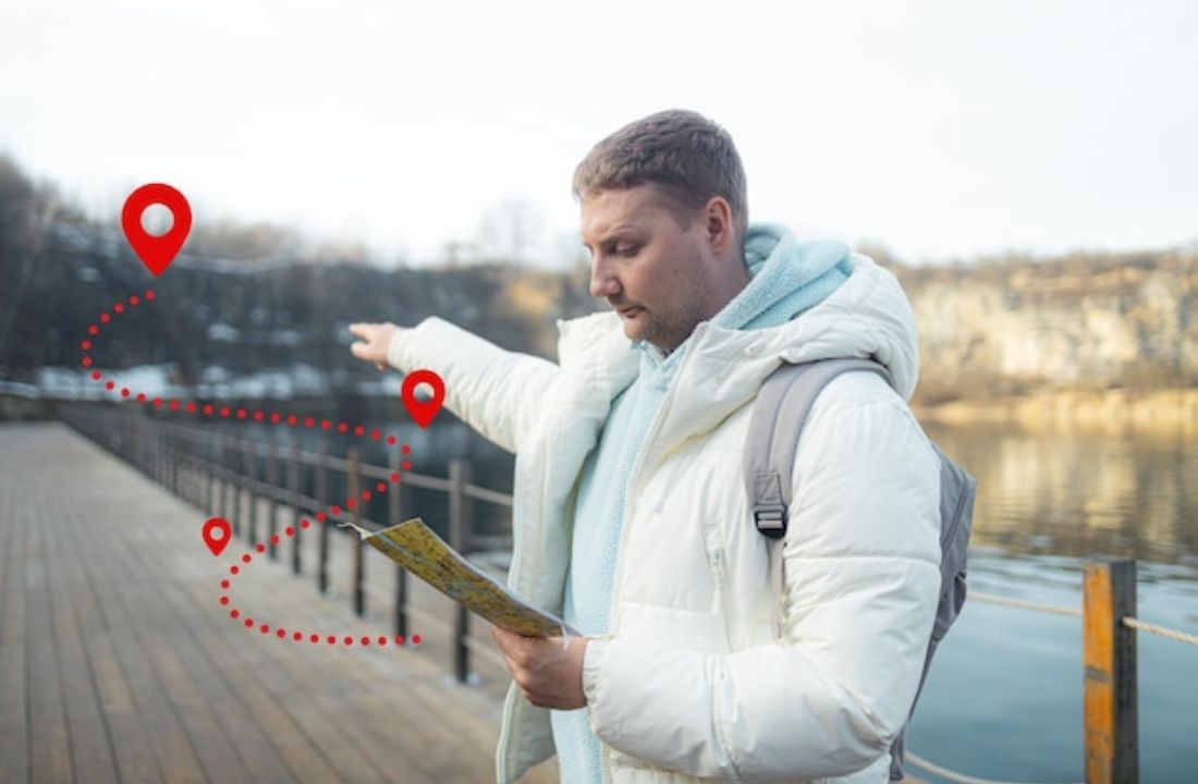
If you’ve been using Geoimgr to geotag your images and you’re starting to feel the friction — the limits, the clunky interface, the pricing — you’re not alone. Thousands of SEOs, photographers, and local marketing professionals are actively searching for a Geoimgr alternative that offers more flexibility, better performance, and a fairer price.
This guide breaks down exactly what’s out there, how the tools compare, and why Geomakers has become the go-to choice for professionals who need to geotag photos online without restrictions.
Why Are People Looking for a Geoimgr Alternative?
Geoimgr has been around long enough to build brand recognition in the local SEO space. But familiarity isn’t the same as being the best tool for the job. Here’s what users commonly report as pain points:
- Monthly image limits that interrupt workflows mid-project
- Small batch sizes (often 5–10 images at a time) that slow down agencies handling large volumes
- No image compression or format conversion — meaning you still need additional tools
- Higher pricing relative to what you actually get
- Images processed via external servers, raising privacy concerns for client work
When your geotagging tool becomes a bottleneck instead of a productivity accelerator, it’s time to look at what else is available.
The Main Geoimgr Alternatives Compared
1. Geomakers — The #1 Geoimgr Alternative for Professionals
Geomakers is purpose-built for the exact use cases where Geoimgr falls short. It’s a browser-based photo geotagging software that processes everything locally — your images never touch a server — and it’s the only tool on the market with truly unlimited geotagging.
Key features:
- ♾️ Unlimited images — no daily or monthly caps
- Batch upload of up to 50 images at once
- Supports JPG, JPEG, PNG, and WebP
- Up to 15MB per image (vs. competitors’ 10MB limit)
- Built-in image compression without visible quality loss
- WebP and JPEG conversion in the same workflow
- Google Maps + Google Places integration with a customizable pin for precision geotagging
- Complete local processing — zero server uploads, zero privacy risk
- 24/7 support, 7 days a week
Pricing: Free tier available (up to 2 images simultaneously). Unlimited plan at $9.99/month — significantly cheaper than Geoimgr and comparable tools priced between $12.90–$19.99/month. Additional team members cost just $3.99/user.
Best for: SEO agencies, local SEO professionals, photographers, real estate teams, and anyone processing high volumes of images regularly.
2. Pic2Map
Pic2Map is a basic web-based option for reading and adding EXIF geolocation data to individual photos. It’s free and simple but lacks batch processing, compression, and any form of image conversion. It’s fine for occasional personal use but not viable for professional or agency workflows.
Limitations: No batch upload, no compression, no format conversion, limited precision.
3. GeoSetter (Desktop Software)
GeoSetter is a free Windows desktop application with solid geotagging capabilities. It reads GPS tracks and assigns location data to images based on timestamps. However, it requires installation, has a steep learning curve, and offers no cloud or browser-based access. Updates have also become increasingly infrequent.
Limitations: Windows only, no browser access, no compression, dated UI, requires local installation.
4. ExifTool (Command Line)
ExifTool is the Swiss Army knife of EXIF metadata editing. It’s incredibly powerful and completely free — but it’s a command-line tool. For developers and technically advanced users it’s an excellent option, but it’s completely inaccessible for most SEOs, marketers, and photographers who need a visual, intuitive interface.
Limitations: No GUI, requires technical knowledge, not suitable for non-technical users.
5. Lightroom / Adobe Bridge
Adobe’s tools allow for geolocation metadata editing as part of a broader photo management workflow. They’re feature-rich but expensive ($10–$55+/month depending on the plan), and geotagging is a secondary feature rather than a core offering. If you’re already an Adobe subscriber, it’s worth knowing — but it’s overkill if geotagging is your primary need.
Limitations: High cost, complex interface, geotagging is not the primary function.
Head-to-Head: Geomakers vs. Geoimgr
| Feature | Geomakers | Geoimgr |
| Price | $9.99/month | $12.90–$19.99/month |
| Monthly image limit | ♾️ Unlimited | 400–1,000 images/month |
| Batch upload | 50 images | 5–20 images |
| Max file size | 15MB/image | 10MB/image |
| Image compression | ✅ Yes | ❌ No / limited |
| WebP & JPEG conversion | ✅ Yes | ❌ No |
| Local browser processing | ✅ Yes | ❌ No |
| Additional users | $3.99/user | ~$4.28+/user |
| Free plan | ✅ Yes | Limited |
The conclusion is clear: Geomakers offers more value at a lower price point, with no artificial limits and a privacy-first architecture.
Who Should Switch to Geomakers?
Local SEO professionals who are regularly optimizing Google Business Profiles know that geotagged images are a meaningful ranking signal. If you’re managing multiple clients and uploading dozens of images per week, hitting a monthly cap is not just annoying — it directly impacts your deliverables. Geomakers removes that ceiling entirely.
Digital marketing agencies handling photo assets across multiple campaigns benefit from the batch processing (50 images at once), the ability to compress and convert in one workflow, and the team pricing that makes it easy to add collaborators without breaking the budget.
Photographers and real estate professionals need precise location tagging and privacy. Geomakers’ local processing means client photos never leave the device — a significant compliance and trust advantage.
E-commerce managers building product catalogs need images that are optimized for web performance. The ability to compress and convert to WebP while simultaneously adding geolocation metadata makes Geomakers a uniquely efficient tool for this use case.
How to Get Started with Geomakers (In 3 Steps)
Switching from Geoimgr — or trying a proper geotagging tool for the first time — takes about 60 seconds:
- Upload your images — drag and drop up to 50 JPG, JPEG, PNG, or WebP files at once
- Add geotags and keywords — search by location name or click directly on the map for precision; add keywords individually or in bulk
- Compress and download — export your ZIP file in your chosen format, ready for Google Business Profile, your website, client delivery, or your catalog
No registration required. No credit card. The free plan is genuinely free, forever.


